How to Get from Venice to Murano
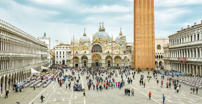
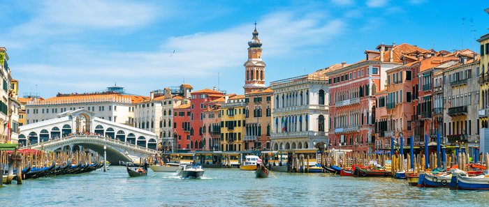
Traveling from Venice to the nearby island of Murano (the "Glass Island") is accomplished by boat, either by taking a public vaporetto (water taxi) or hiring a private water... read more
Traveling from Venice to the nearby island of Murano (the "Glass Island") is accomplished by boat, either by taking a public vaporetto (water taxi) or hiring a private water... read more
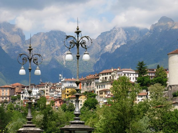
The Dolomites Mountains are part of the Southern Limestone Alps and include the provinces of Belluno, South Tyrol, and Trentino. Depending on what parts of the region you plan... read more
Barely 100 miles (160 km) separate Rome from the heart of Tuscany, making it easy to incorporate both into your Italian itinerary. For ease and efficiency, travel by train is... read more
Rome and Sicily are approximately 260 miles (420 km) apart as the crow flies. Quick flights and overnight train and ferry routes make the trip possible for even the shortest of... read more
235 miles (378 km) separate Rome from Puglia in the far south of the country. The “heel” to Italy’s boot, the region’s rugged countryside and magnificent beaches put it high on... read more
The distance from Florence to Amalfi is about 340 miles (550 km)—a long trip best started early in the morning, regardless of what means of travel you opt for. The most... read more
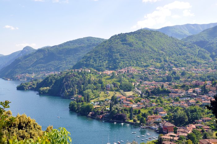
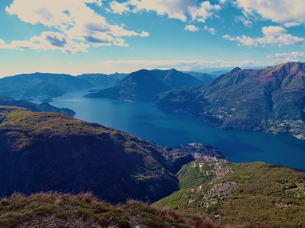
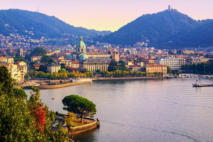
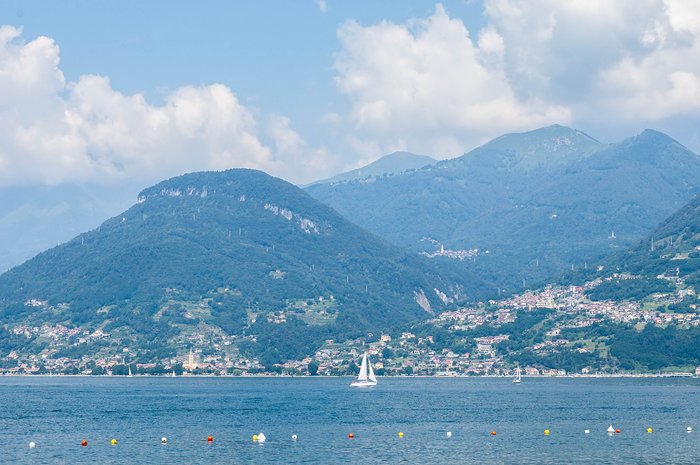
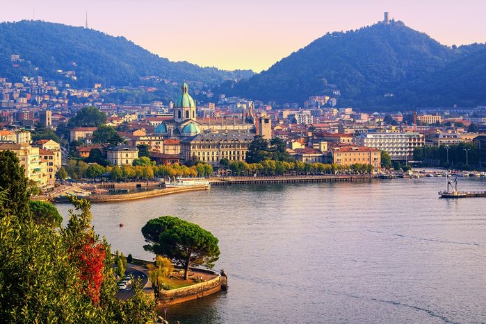
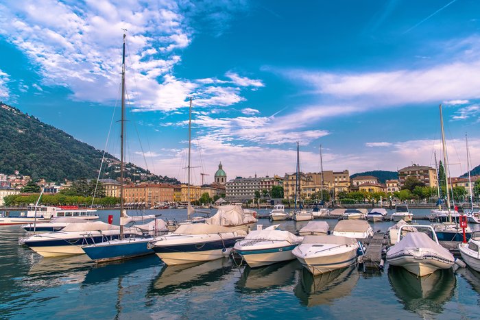
The southern shore of Lake Como is just 32 miles (51 km) from Milan. This iconic Italian lake draws visitors from around the world, and with good reason. Lake Como is lovely at... read more
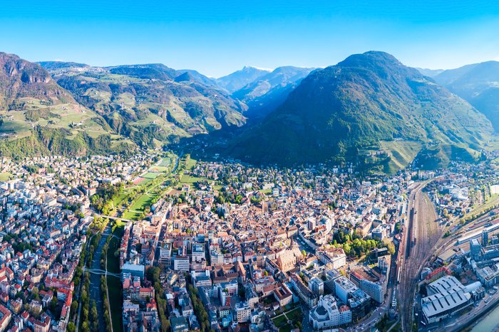
If you plan to visit Italy's stunning Dolomites mountain range, the city of Bolzano, capital of the South Tyrol region, makes a good starting point for explorations by car,... read more
After enjoying the sights of Venice, why not head north for a completely different Italian experience? Italy's Dolomite Mountains attract sports enthusiasts, nature lovers,... read more
Tuscany and the Amalfi Coast are separated by a considerable distance, and due to both geography and topography are not the easiest destinations in Italy to connect directly.... read more
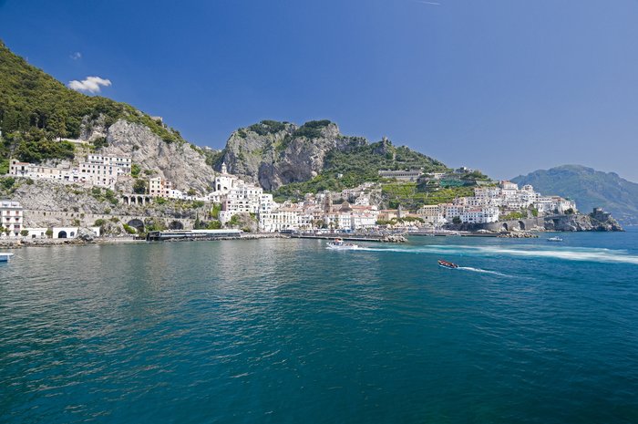
The best way to get from Amalfi to Rome is via a combination of ferry and train. Start with a super scenic ferry ride from Amalfi to Salerno, followed by a high-speed train to... read more
One of the fastest and most enjoyable ways to make the 256-mile (412 km) journey from Florence to Sorrento is by train, despite having to connect to a local rail. The entire... read more
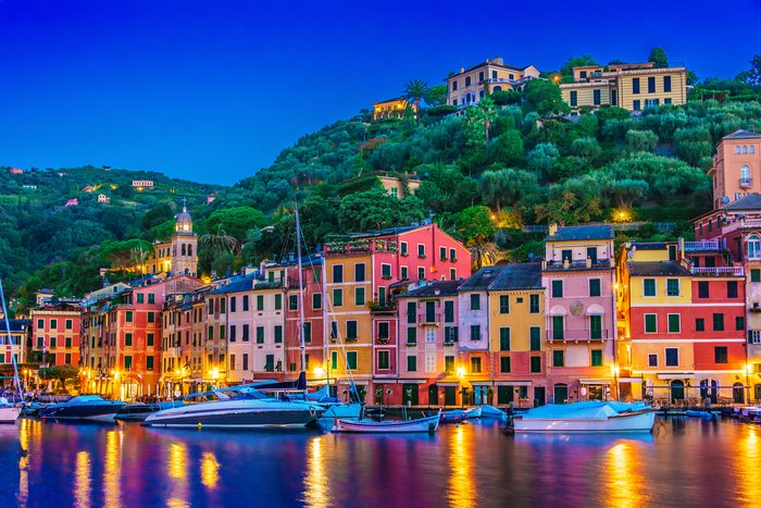
Portofino, a small harbor town in the Italian Riviera known for its high-end shopping and luxury hotels, is located about 132 miles (213 km) northwest of Florence. Because there... read more
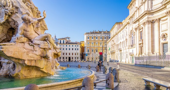
The total distance from Rome to Naples is about 142 miles (230 km). The trip should take between one and four hours, depending on your mode of transportation and traffic... read more
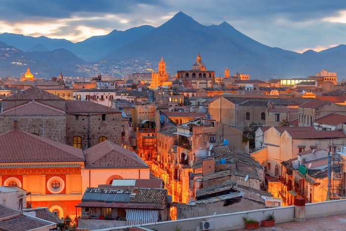
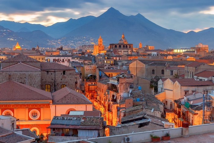
The best way to get from Palermo to Taormina is by car. A rental allows you to make stops at all the destinations across the three-hour route between the two cities. Driving in... read more
The distance between Venice and Tuscany is 108 miles (137 km), and it's best done via high-speed train to Florence. Italy's two main rail companies travel from Venice to... read more
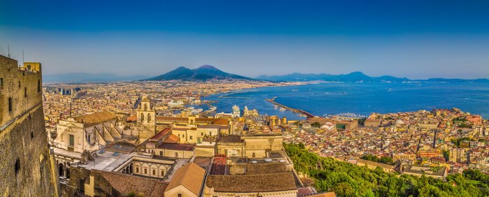
Although the distance is not very far, making the 41-mile (66 km) journey from Naples to the Amalfi Coast requires multiple modes of transport. Travelers can take a high-speed... read more
Italy's stunningly beautiful Dolomite Mountains form a natural border between Italy, Austria, and southeastern Switzerland. A visit to any part of the Dolomites is well worth... read more
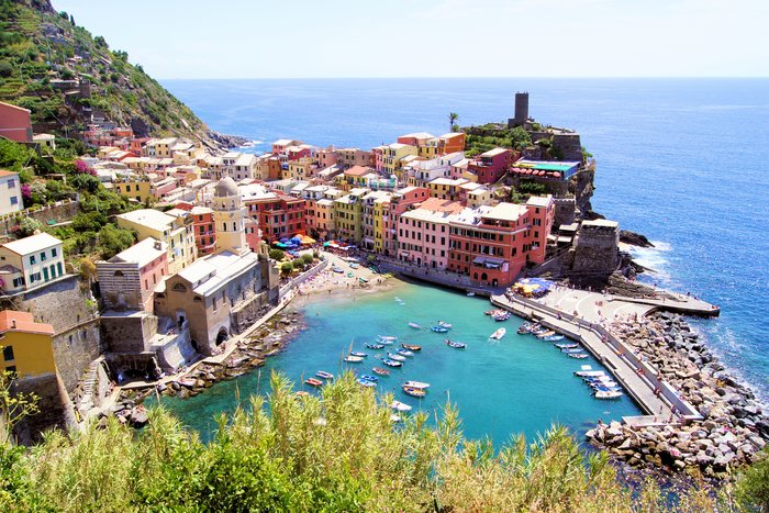
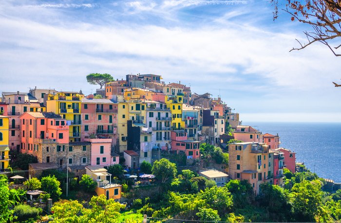
Cinque Terre is only 105 miles (169 km) away from Florence, making it an easy side trip that takes between 1.5-3 hours one way. There are a few options for making your way... read more
Traveling from the Tuscany region of Italy down to the southern region of Puglia is a trip of almost 500 miles (800 kilometers) that will take about seven to eight hours by car... read more
The distance between Sicily and Puglia is approximately 344 miles (554 km), depending on your starting and ending points in the regions. While most travelers choose to fly, you... read more
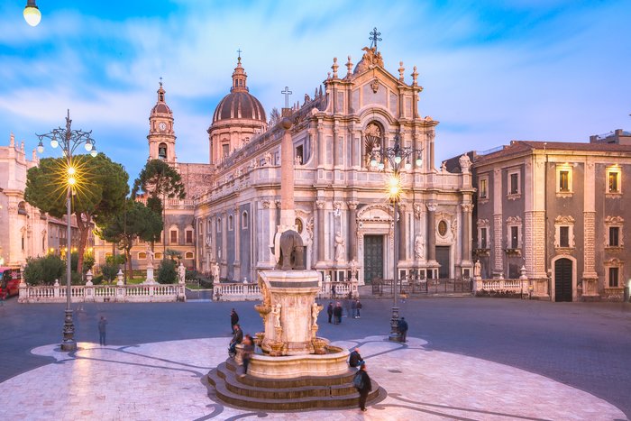
The cities of Palermo and Catania, both located in Sicily, are approximately 131 miles (212 km) apart. Palermo, Sicily's largest city, is on the northwest side of the island, by... read more
Traveling from Florence to Positano—a distance of 324 miles (523 km)—will take you on a journey through Italy as you go south past Rome and Naples. Renting a car or going by... read more
With 395 miles (636 km) between Florence and Sicily, the most efficient way of traveling is via a direct flight to either Catania, an ancient port city, or Palermo, the capital... read more
The distance between Tuscany's renaissance capital of Florence and the rugged southern region of Puglia is approximately 350 miles (563 km). Flying is the fastest way to make... read more
Venice and Florence are just 167 miles (269 km) apart, which makes it easy to visit both iconic cities on the same trip. High-speed trains make the journey in just over two... read more
Traveling from Portofino to Pisa means a trip down the coast of the Ligurian Sea, a lovely, scenic ride of about 89 miles (143 km). It's best accomplished by private transfer,... read more
The historic city of Naples is located approximately 38 miles (61 km) from Amalfi via car, making for a fairly easy destination or day trip up the coast. The easiest way to get... read more
The distance between Portofino and Genoa is just 21 miles (34 km). Driving (with a rental car or private transfer) is the quickest way to make the journey, which takes around 50... read more
Lake Maggiore (Lago Maggiore), is the second-largest lake in Italy and is located northwest of Milan. Part of the lake is in Switzerland, but the majority is shared by the... read more
With 282 miles (453 km) separating Venice from the region of Puglia, flying is by far the fastest way to travel. Fly out of Venice and land in either Bari, Puglia's capital, or... read more
There are a variety of convenient ways to get from Rome to Sorrento. The most convenient option is to rent a car and drive across the A1/E45 (three hours), but those... read more
Rome and Praiano on the Amalfi Coast are just 170 miles apart, but it takes anywhere from three to five hours to travel between them. Roads are steep and winding. Trains can... read more
Palermo, the capital of Sicily, is 79 miles (128 km) from the hilltop town of Agrigento and its well-preserved ancient Greek temples. The easiest way to make the trip, which... read more
Rome and Venice appear together on many Italian itineraries, and the 288-mile (464 km) journey between the historic cities is made easy by an efficient high-speed train system.... read more
If your trip to Sicily involves a visit to the fascinating Aeolian Islands to the north, there are a few ways to get to the chain of islands, and almost all of them involve a... read more
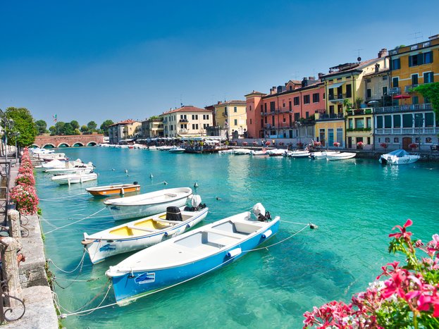
If you're leaving behind the canals of Venice for the clear waters of the Italian Lakes Region, there are a few ways to make the journey. At 87 miles (140 km) away, Peschiera... read more
Visiting Florence and Siena during the same trip is straightforward given their close proximity, and traveling between them is a great opportunity to enjoy the Tuscan landscape.... read more
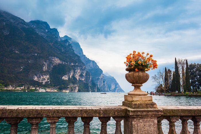
Traveling to any of the cities on the shores of Lago di Garda (Lake Garda), Italy's largest lake, is relatively straightforward, whether you're traveling by car or public... read more
Among the largest and most visited lakes in the Lakes District of Northern Italy are Lake Garda, Lake Como, and Lake Maggiore. These major bodies of water and the villages and... read more
The distance between two of Italy's greatest cities—Milan and Venice—is 173 miles (279 km), traveling directly across the base of the Italian Alps from east to west. The easiest... read more
Wine lovers know that both Tuscany and Sicily create some of Italy's best wines, so that's one good reason (among many others) to travel from Tuscany to Sicily. Seeing Mt. Etna... read more
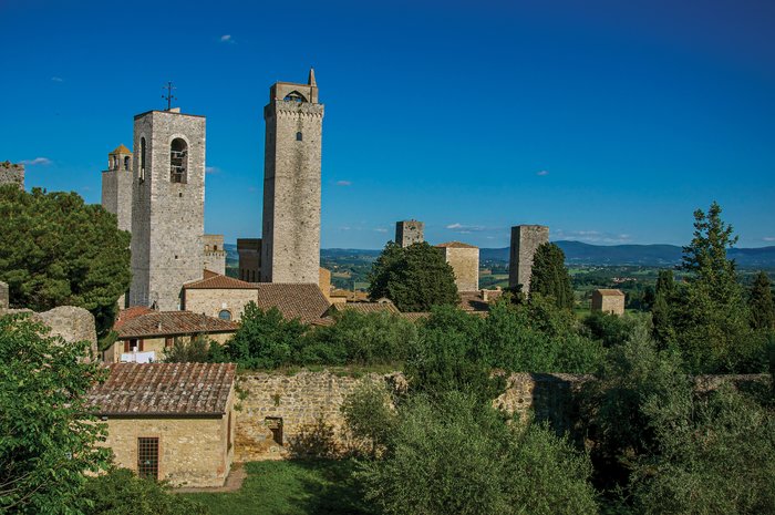
Siena and San Gimignano are two iconic, yet completely different, jewels of Tuscany. Because these two cities are just 25 miles (40 km) apart, getting from Siena to San... read more
There are roughly 75 miles (120 km) between Florence from the east end of the Italian Riviera. The city of Genoa marks the center of the Italian Riviera, dividing the... read more
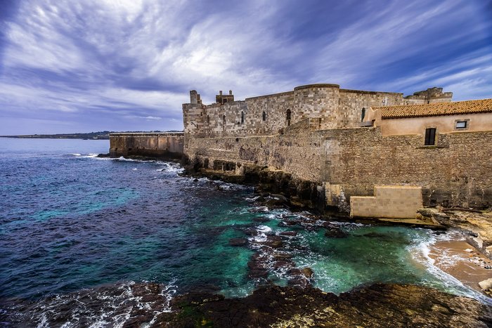
Self-driving is the most convenient way to travel the 120 miles (193 km) between Syracuse and Taormina, especially for travelers who plan on venturing beyond the two towns into... read more
There are 509 miles (819 km) separating Venice from the northern tip of Sicily. With that being said, it's no surprise that flying is the most efficient way of getting between... read more
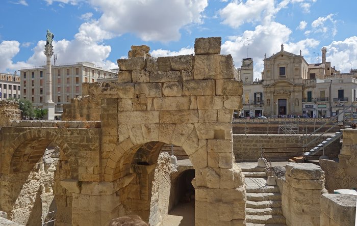
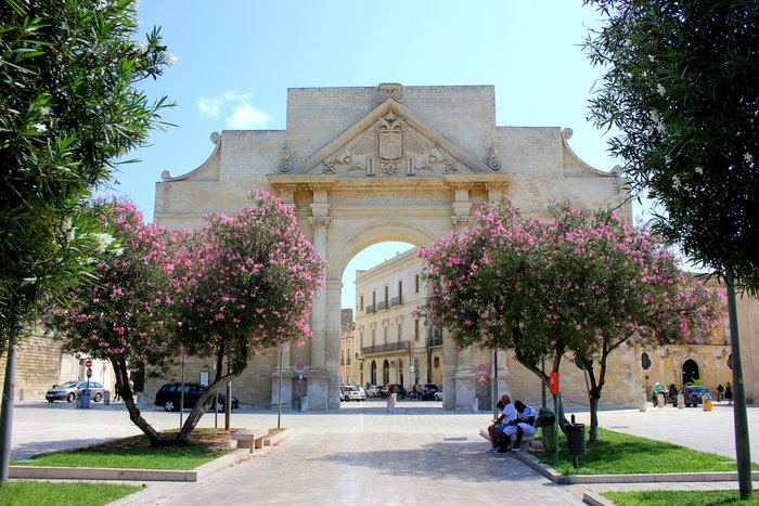
When you're ready to trade the Baroque architecture of Lecce, in Italy's Puglia region, for the sassi cave dwellings of Matera, there are a few ways to make the 110-mile (175... read more
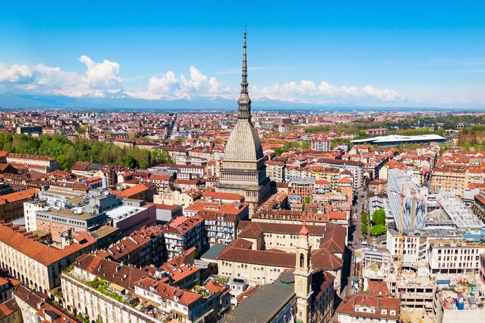
With only 45 miles (119 km) between the two cities of Milan and Turin (also known as Torino), taking the high-speed train is the most efficient mode of transportation. The two... read more
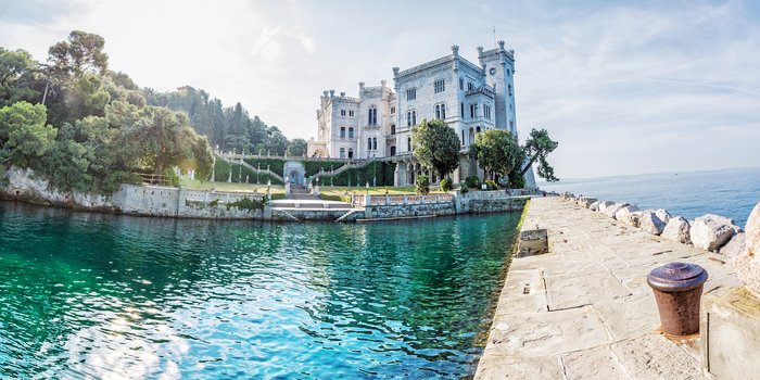
At just 100 miles (160 km) from Venice, the seafront city of Trieste makes an interesting add-on to any tour of northern Italy. And with its close proximity to the borders of... read more
The island of Sicily is approximately 541 miles (870 km) from the Italian Riviera as the crow flies, or 820 miles (1,319 km) via car. While driving offers the bonus of being... read more
Once you've taken in the earthy, vibrant Sicilian capital of Palermo and are ready to head to the beaches and Baroque wonders of Trapani, there are several ways to make the... read more
Traveling from Sorrento to Palermo on the island of Sicily takes a long time unless you fly. Because Sorrento is on a peninsula and Sicily is a large island, the trip requires... read more
Traveling across Sicily from Palermo to Syracuse is a 162-mile (261 km) journey that begins along the Tyrrhenian Sea and cuts south across the heart of the island, regardless of... read more
With a short distance of 85 miles (137 km), getting from Milan to Verona is a straightforward journey. Traveling by high-speed train is the fastest and most convenient way to... read more
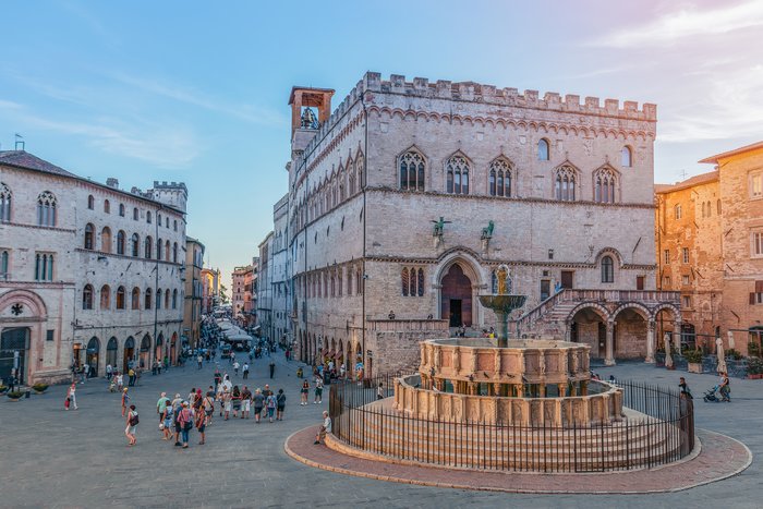
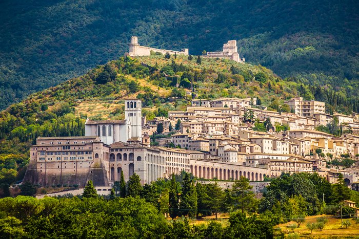
Barely 50 miles (80 km) separate Rome from the southern border of Umbria, making the region easily accessible from the Italian capital. The largest city of Perugia lies 82 miles... read more
Traveling from Tuscany to the Italian Lakes District is approximately a 240-mile (388-kilometer) trip, assuming you start in Florence and go to Como, on the shore of Lake Como.... read more
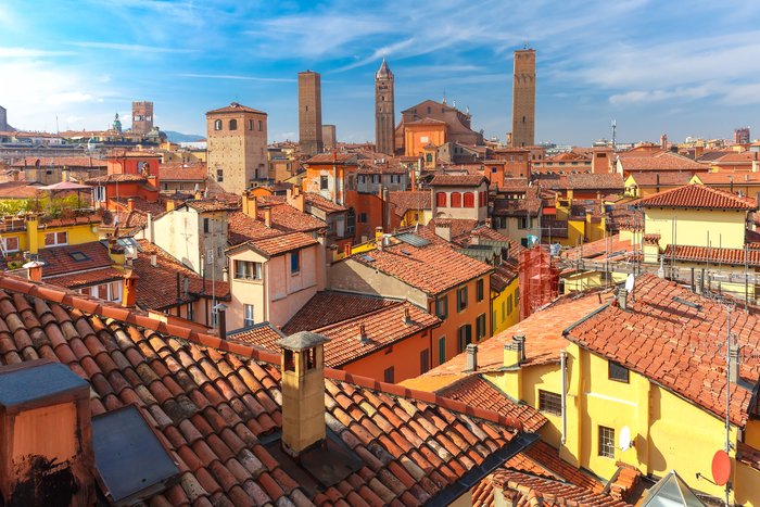
The distance between Milan and Bologna is only 123 miles (198 km). By far, the most convenient way to make the journey is by high-speed train. Italy's two train companies have... read more
Alberobello and Lecce are just 67 miles (108 km) apart, and the fastest ways to get from between them are to drive yourself, hire a private driver, or take a train from... read more
If you're hopping around the Italian Lakes region, there are a few ways to make the journey between Lake Como and Stresa, on the western shore of Lake Maggiore. Lecco is a... read more
It can take a mere 35 minutes to get from Florence to Bologna, making the 66-mile (106 km) trip between the two cities a popular itinerary item. For cities like these, with... read more
Matera and Alberobello are 42 miles (69 km) apart, and they're located in two different regions in Italy, Basilicata and Apulia. Public transportation between the two towns is... read more
Traveling from Grado to Trieste should only take an hour or two, depending on your mode of transportation. Plan some extra time, though, because the 35-mile (56 km) trip takes... read more
Traveling from Naples to Maiori, on the Amalfi Coast, is a 34 mile (54 km) trip that takes you past an ancient volcano and over scenic mountains if you travel by rental car or... read more
Florence and Milan, two major Italian hubs, are well-connected by high-speed trains. Multiple trains make the 190-mile (305 km) trip throughout the day, a two-hour journey... read more
Whether you travel from Lecce to Bari by train, car, or bus, there's plenty to see along the way. Taking the train is the fastest option, though you can also travel by car or... read more
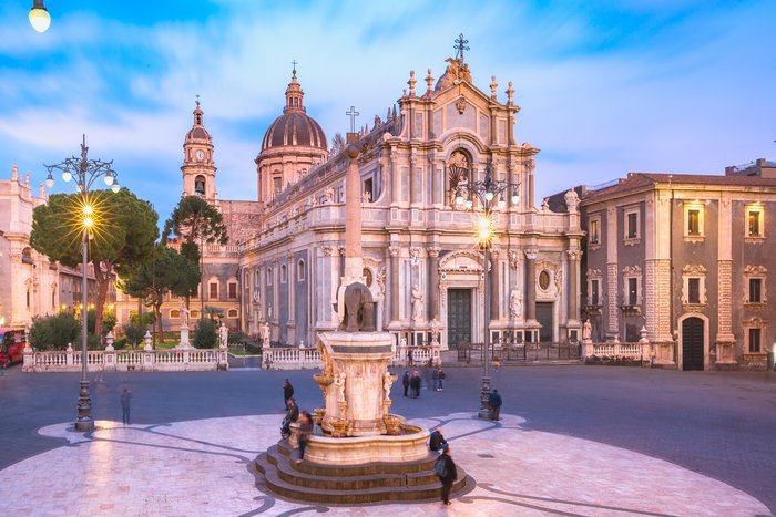
If you're keen to visit Sicily's Mount Etna, the largest and most active volcano in Europe, there are a number of ways to get there and several ways to experience the volcanic... read more
Known as the Italian Riviera, Liguria boasts over 200 miles (321 km) of Mediterranean coastline, famously dotted with colorful villages and seaside resorts. The central capital... read more
Traveling from Venice to Positano—a distance of 480 miles (773 km)—will take you on a journey through several regions of Italy as you travel south through Florence, Rome, and... read more
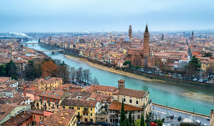
As you leave Venice and journey toward Verona, it's a quick trip 71-mile (115 km) trip to the city Shakespeare made famous in "Romeo and Juliet." Traveling from Venice to Verona... read more
Venice and Florence are two of the most-visited cities in Italy, making transportation between the two quite simple. It's important to understand that "Venice" refers to two... read more
There are numerous ways to get from Sorrento to Naples, both located on the Gulf of Naples, about 30 miles (48 km) apart. The easiest and quickest option is by ferry. Despite... read more
The Italian lakes district lies roughly 175 miles (281 km) north of Florence, with Milan serving as the main gateway to the region’s famed natural beauty. High-speed rail... read more
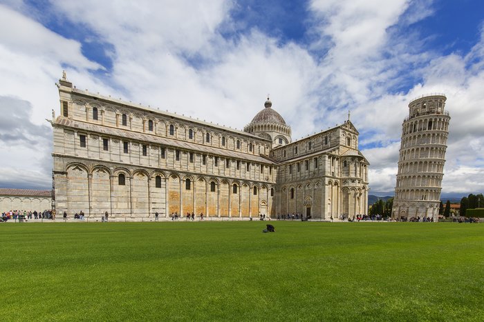
If you need to travel from Rome to Pisa, a distance of 220 (355 km), you can go by train, rental car, private driver, or bus. Because of Italy's high-speed train system, the... read more
However way you choose to get from Amalfi to Sorrento, the high-nested villages across the way will always be a magnificent backdrop to your route. In traveling from one coastal... read more
Maiori is connected to the rest of the Sorrento Peninsula by road and, in peak travel months, by boat, making it an excellent place to stay if you want to visit several Amalfi... read more
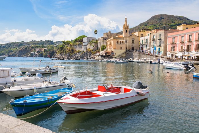
Traveling from Catania to the island of Lipari requires taking a ferry from either Milazzo, the more popular ferry port (81 miles/130 km from Catania), or Messina Marittima (60... read more
Due to its scattered sights, Sicily is best explored with a car, and since Taormina and Catania are a mere 35.5 miles apart transportation between the two is simple and fast. On... read more
With only 129 miles (207 km) between the cities of Milan and Lucca, getting there in one day is doable. The fastest and most scenic way to get to Lucca is by driving, during... read more
If you've taken in the Renaissance charms of Florence and are ready to visit Rome or catch your flight home, there are a few ways to make the roughly 175-mile (282 km) journey.... read more
Beautiful Portofino is often considered to be the northern gateway to the Cinque Terre towns and Cinque Terre National Park's mountain villages. Because Portofino is situated on... read more
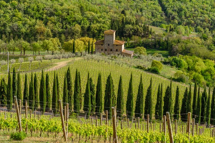
If you're on a wine tour of Italy or just want to explore one of its beautiful rural areas, your travels might lead you to the Chianti region of Tuscany. Wedged between... read more
Syracuse is just 41 miles (66 km) north of Catania, Sicily's second-largest city, and a stepping-off point for exploring nearby Mount Etna. Many travelers also head to Catania... read more
Ravenna, a city in Italy's Emilia-Romagna region known for the Byzantine mosaics adorning its San Vitale church, is located about 116 miles (188 km) east of Florence and is... read more
Rome and Bologna are both on Italy's high-speed train network, making train travel between the two the most convenient and quickest mode of transportation. Those with more time... read more
The region of Puglia and Italy’s Lakes District—which includes not only the famed Lake Como but also Lake Garda, Lake Maggiore, Lake Lugano, and Lake Iseo—are approximately 600... read more
La Spezia, a port city located about 90 miles (146 km) west of Florence is a common transfer point to reach Cinque Terre and is easiest to reach by train. Another option is to... read more
Traveling the 90 miles (144 km) from Siena to Lucca is not a straightforward experience, thanks to the geography of Italy's Tuscany region. Tuscany is more mountainous than most... read more
If you want to travel the 203 miles (327 km) from Venice to Pisa, your best option will be to take a high-speed train to Florence and then transfer to another train to Pisa. You... read more
Puglia, a region on Italy’s Adriatic Coast, is approximately 345 miles (556 km) from the region of Umbria. The easiest way to get from one to the other is by combining plane and... read more
The distance from Florence to the region of Umbria is roughly 70 miles (112 km) as the crow flies, traveling south across Tuscany and into the green Umbrian landscape. A rental... read more
Moving between the lovely cities in Italy's Lake District means a bit of travel time, for the massive Italian Alps that rise between the lakes must be circumvented. So getting... read more
The distance between Venice and Siena is roughly 200 miles (321 km), moving south from the Veneto region towards Tuscany. Train travel is best (4-4.5 hours) here, with a... read more
Sicily is shaped like a triangle, and travel from Trapani to Agrigento takes you from one of its three corners to its southwestern side. Like in the rest of Sicily, traveling... read more
The distance between Florence and Lucca is only 57 miles (92 km), and well worth the short trip—there are many things to see and do in this historic city located at the foot of... read more
Siena and Amalfi are popular Italian destinations, so there are several ways to make the 300-mile (480 km) trip between the two cities. While driving from Siena to Amalfi is... read more
Alba, in the Langhe wine-growing area of Italy, is about 38 miles (62 km) southeast of the city of Turin (Torino). To travel from Turin to Alba, you can choose to go by train,... read more
Roughly 155 miles (250 km) separate the eastern end of the Italian Riviera from Venice. With Genoa at its center, the Italian Riviera is divided into two sections—the Riviera di... read more
Traveling the 97 miles (155 km) between Venice and Bologna can be accomplished via train, rental car, private driver, or bus. For most vacationers, the train makes the most... read more
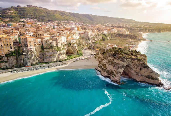
Roughly 42 miles (66 km) separate Tropea and Reggio Calabria, traveling south along the Tyrrhenian coast to the toe of Italy’s boot. Reggio sits at the southwestern edge of... read more
The distance between Florence and Monterosso al Mare is approximately 108 miles (175 km), traveling from Tuscany toward the colorful Ligurian coast. Because there are no direct... read more
Whether you prefer driving or traveling by train, getting from Florence to Verona is not difficult. Taking the train from Florence to Verona is quick and easy, a two-hour... read more
It is a long journey from Bologna to Positano, a distance of about 400 miles (643 km). There are a number of options for this route, including flying from Bologna to Rome to... read more
Traveling the 165 miles (266 km) from Rome to the port city of Salerno southeast of Naples offers great opportunities to see some of Southern Italy's major sites along the way.... read more
Capri, an island in the Gulf of Naples, is located about 22 miles northwest of Positano. To get to Positano from Capri, you'll need to travel by ferry, hydrofoil, or private... read more
Getting from Amalfi to Maiori—which has the longest beach on the Amalfi Coast—isn't difficult, but it might take longer than you think. This is especially true during July and... read more
Capri is an island in the Bay of Naples off of the Amalfi Coast. Whether you're traveling from Rome, Florence, or Naples, you'll ultimately need to venture across the bay to get... read more
Italy's famed lakes district lies at the country's northern border, approximately 325 miles (523 km) north of Rome. The best-known lakes of Maggiore, Como, and Garda are... read more
The Italian Riviera is approximately 137 miles (220 km) from the Lakes District, making travel via rental car or private driver the quickest way to get between the two cities.... read more
Roughly 123 miles (198 km) separates the center of Rome and Radda-in-Chianti, and the best way to tackle that distance is by driving through the scenic countryside. Whether... read more
Moving from Tuscany to Umbria is a simple trip, as these two famed Italian regions are joined at the south end of Tuscany and the north of Umbria. So the journey to the south is... read more
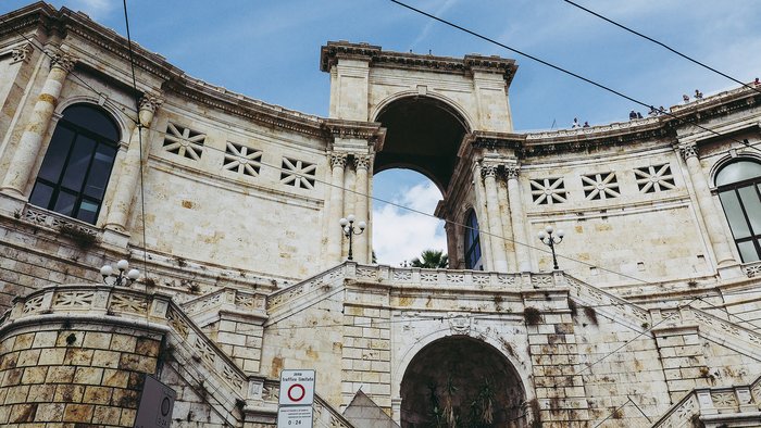
The distance between the Sardinian cities of Chia and Cagliari is just 33 miles (53 km), making the trip from one city to the other fairly easy. The best way to get from... read more
The distance between Isola di Capo Rizzuto and Tropea is just 68 miles (109 km) as the crow flies, traveling southwest from the Ionian coast and across Calabria’s rugged... read more
Sicily is approximately 900 miles (1,451 km) from the Lakes District, which includes lakes Maggiore, Como, Lugano, Iseo, and Garda. The quickest way to get from one region to... read more
Travel from one island to the next is one of the most exciting aspects of the Aeolian Islands due to the many panoramas you'll fit into a single day trip. At just 28 miles (45... read more
Piazza Armerina, Sicily, famous for its mosaic-filled, 4th-century CE Villa Romana del Casale, is a worthwhile side trip from Syracuse. The roughly 87-mile (140 km) trip is best... read more
The Italian Riviera region is approximately 570 miles (917 km) from the heart of Puglia. Traveling between the two regions is most easily accomplished via commercial air travel.... read more
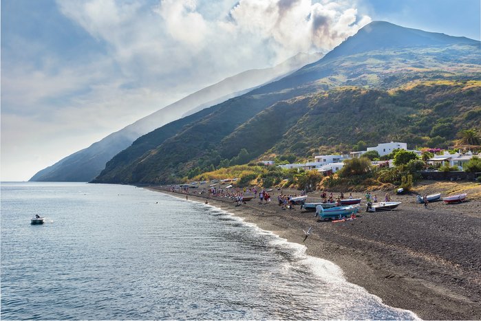
If you travel from the island of Stromboli to view or climb Mount Etna, Sicily's largest volcano, you will make the first part of your journey by boat. Year-round ferries... read more
It's an easy day trip from Florence to Pisa, only about 52 miles (84 km) west toward the Mediterranean Sea. There are no direct flights between the two cities, but plenty of... read more
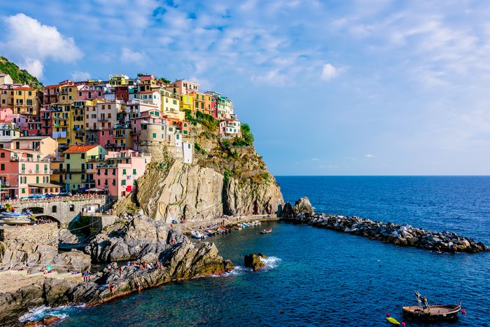
Bordering the coast of the Italian Riviera sits Cinque Terre and its five villages, all of them holding historical differences but sharing similarities in color and vibrancy.... read more
There are 127 miles (204 km) between Venice and the northern tip of Umbria, and multiple forms of transportation are available to make the trek. The quickest way of getting... read more
Manarola, one of the five villages of the Cinque Terre, is located about 100 miles (161 km) west of Florence and is easy to reach by train—and you'll have incredible views... read more
Making your way from Bologna to Verona is a quick trip that takes you from the Emilia-Romagna region into the Veneto. With only 90 miles (145 km) to travel, it is an easy... read more
Only 32 miles (52 km) separate Modica and Syracuse, heading northeast across Sicily’s Ragusa and Siracusa provinces to the Adriatic coast. For efficiency and affordability, the... read more
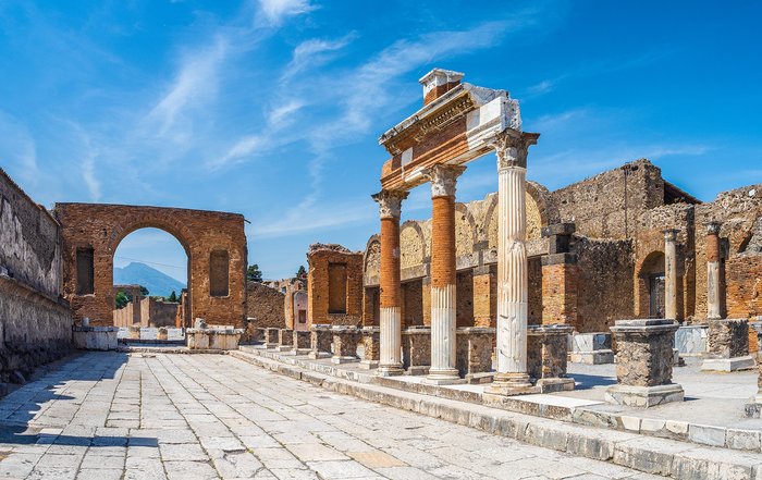
For many travelers to Italy, no tour of the country is complete without a visit to the Pompeii, the southern Roman city destroyed by the 79AD eruption of Mt. Vesuvius. The... read more
When traveling from Tuscany to the Italian Riviera, the seaside region of Liguria centered on Genoa, you may find it's easiest to get around by rental car, especially if you're... read more
Travel from Bari, the capital of the Puglia region, to nearby Fasano is a scenic trip along the Adriatic Sea regardless of what mode of transport you choose. Take the train for... read more
The short trip from the medieval, walled town of Radda-in-Chianti to Florence is only 32 miles (50 km). It is accessible with a car, whether you choose to self-drive or hire a... read more
When you're ready to depart Stresa, on the shores of Lake Maggiore (Lago Maggiore) and head to Peschiera del Garda at Lake Garda (Lago di Garda), there are two ways to make the... read more
At roughly 45 miles (72 km), the ride between Udine and Trieste is short, moving southward across Italy's Friuli Venezia region and toward the Slovenian border. As for most of... read more
Florence's iconic art and architecture are wonderful to behold, but there's something to be said for relaxing in an Italian beach town. Maiori is a great place to soak up the... read more
In Sicily, the most convenient way to get around is by car due to poor public transportation and rural destinations that are scattered around the island. The drive from Trapani... read more
If you've explored Matera's cave dwellings and are ready to hit the beaches of Isola di Capo Rizzuto, there are a limited number of ways to make the 159-mile (256 km) journey... read more
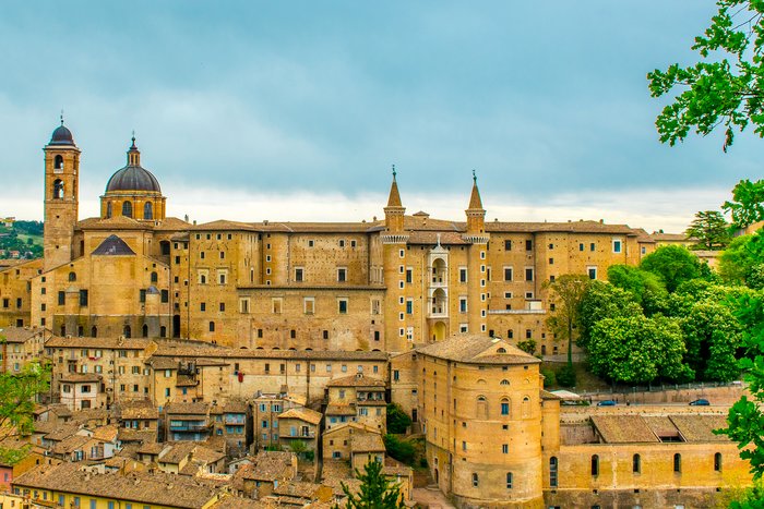
The cities of Urbino and Perugia are approximately 70 miles (113 km) from each other. The walled city of Urbino is located in the Marche region of Italy, and Perugia, the... read more
The distance between the Italian resort town of Courmayeur to lakeside Champex in Switzerland is only 47 miles (76 km). The only real option is to make the trip by car, either... read more
Udine and Grado, two popular destinations in Italy's Friuli-Venezia-Giulia region, are just 33 miles (53 km) apart. Getting from Udine to Grado takes about an hour by car and... read more
The journey from Turin (Torino) to Bologna takes visitors from the Piedmont region of Italy south into the Emilia-Romagna, across fertile lands edged by mountains. The trip... read more
The overland distance between Sicily and Umbria is about 540 miles (870 km). The fastest route between the two regions involves a combination of air travel and train. Including... read more
The Italian Riviera is located approximately 256 miles (413 km) from Umbria. Driving time between the two regions is approximately four hours, making traveling via car the... read more
The 59-mile (94 km) journey from Fasano to the whitewashed city of Lecce, both in Italy's Puglia region, can be undertaken by train, car, or bus. Unless you're on a driving tour... read more
Umbria is located approximately 350 miles (564 km) from Italy’s Lakes District. When traveling from one region to the other, the quickest way to get there would be to go by... read more
If you're exploring the Marche region of Italy and need to travel between the Renaissance towns of Ascoli Piceno, on the region's southern edge, and the walled city of Urbino to... read more
Catania and Riposto are just 18 miles (29 km) apart, and it takes a mere half hour to get from Catania to Riposto by train. Driving from Catania to Riposto takes about the same... read more
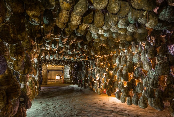
If your culinary tour of Italy involves a side trip from Bologna to Polesine Parmense, famous for its museum dedicated to cured pork, you can make the 85-mile (136 km) journey... read more
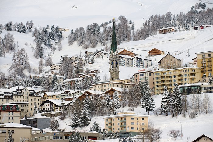
There are a number of ways to make the nearly 600-mile (975 km) journey from the wild beaches of Italy's Gargano National Park to the mountains and chic ambiance of St. Moritz... read more
The short 46-mile (74 km) journey from Syracuse to Riposto is a worthwhile one—located along the Sicilian coastline, both towns offer visitors historic sites and pleasant... read more
The road distance between Palermo and Paceco is 66 miles (106 km), making a day trip between the two Sicilian cities easy. As with the rest of Sicily, the best way to move... read more
