How to Get to Mallorca
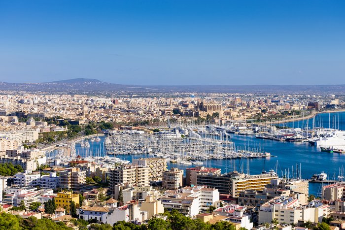
Mallorca—the largest of the scenic Balearic Islands—sits off of Spain's Costa Blanca (White Coast). Because it’s an island, getting to Mallorca is not as straightforward as... read more
Mallorca—the largest of the scenic Balearic Islands—sits off of Spain's Costa Blanca (White Coast). Because it’s an island, getting to Mallorca is not as straightforward as... read more
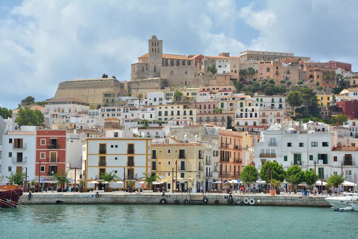
Ibiza—one of the scenic Balearic Islands—sits off of Spain's Costa Blanca (White Coast). Because it's an island, getting to Ibiza is not as straightforward as driving your car.... read more
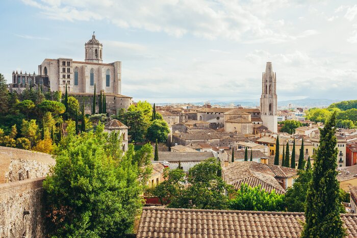
The distance between the capital of Spain's Catalonia region Barcelona and the medieval city of Girona is just 53 miles (85 km) traveling northeast. The easiest and quickest way... read more
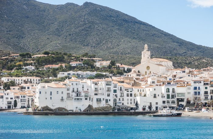
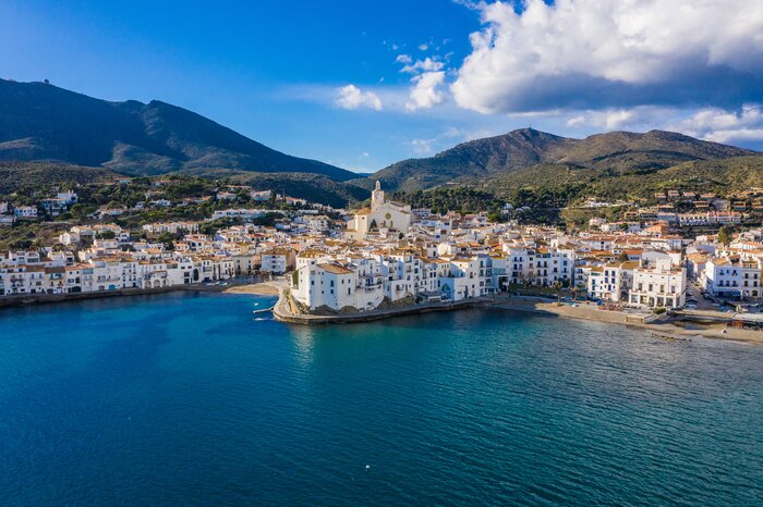
The distance between the capital of Spain’s Catalonia region, Barcelona, and the seaside town of Cadaqués, located on the region’s Costa Brava, is 85 miles (136 km). The easiest... read more
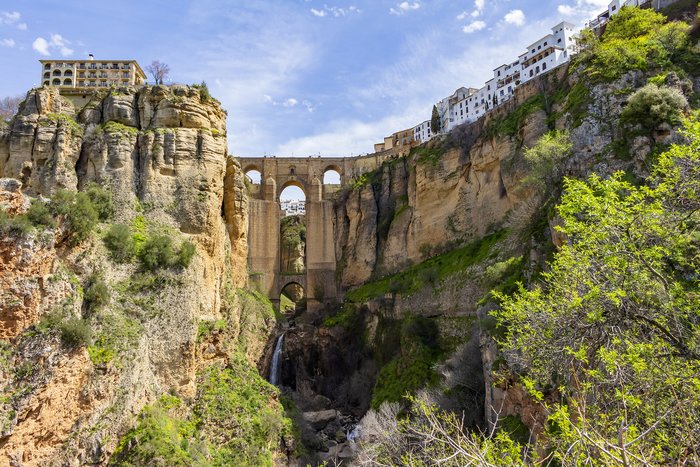
Ronda, the city set in the mountainous region of Málaga, is a quick 79 miles (127 km) from Seville, the Andalusian city that's famous for flamenco dancing. The quickest way to... read more
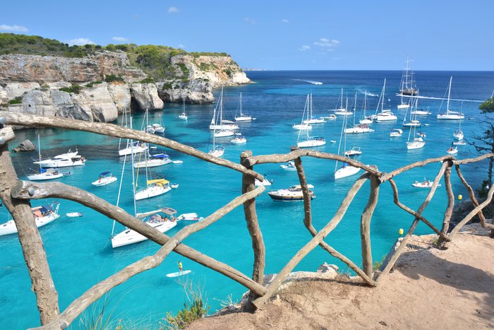
The Balearic Islands of Mallorca and Menorca sit next to each other in the Balearic Sea, just off the coast of the cities of Barcelona and Valencia. The distance between the two... read more
The distance between the capital of Spain's Catalonia region, Barcelona, and Palma de Mallorca (Palma), the capital of Mallorca (i.e. the largest of the Balearic Islands) is 128... read more
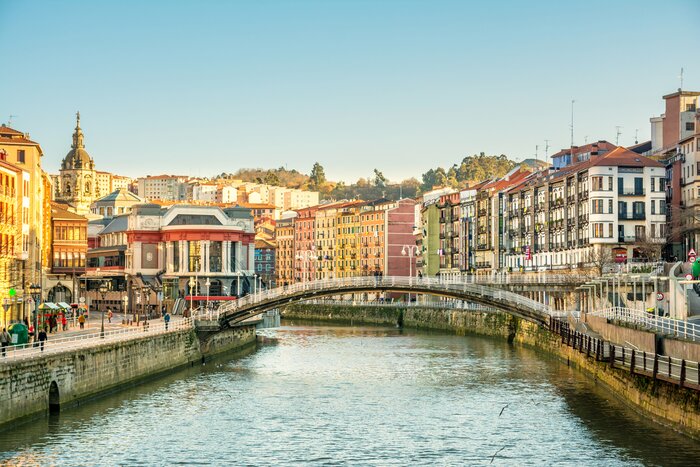
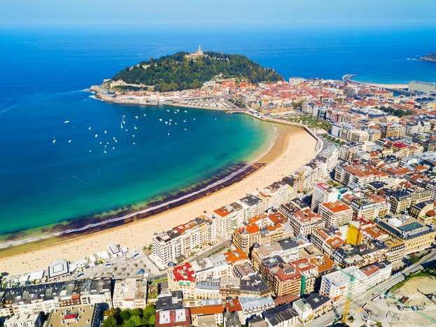
The port city of Bilbao and the foodie metropolis of San Sebastián are two essential stops in Spain's Basque Region. A trip between the two is typically a short, one-hour drive... read more
The distance between Barcelona and the beach town of Begur, located on the Costa Brava, is 66 miles (106 km). The easiest and quickest way to make the trip is by car (1 hour and... read more
Costa Brava is Spain’s stretch of coastline that starts north of Barcelona and ends on the border with France. It's known for impeccable scenery and picturesque coastal... read more
The distance between Barcelona and Valencia is 220 miles (354 km). The easiest way to make the trip is by plane, a direct flight that takes less than one hour. If you'd like to... read more
The distance between two major cities in southern Spain’s Andalusian region, Córdoba and Granada, is 81 miles (130 km). The easiest and fastest way to make the trip is by the... read more
The Balearic Islands of Ibiza and Menorca are approximately 149 miles (240 km) apart, with the island of Mallorca sitting almost directly between them. The quickest way to get... read more
The Spanish Riviera is well-connected to the rest of Spain, especially other major cities like Madrid, Barcelona, and Bilbao. Direct flights are available from all three cities,... read more
The distance from Granada in western Andalusia to the port city of Málaga on the Costa del Sol is about 56 miles (90 km). The most comfortable way to get from Granada to Málaga... read more
The distance between two destinations in Spain’s Catalonia region, the medieval city of Girona and the seaside town of Cadaqués, located on the region’s Costa Brava, is 32 miles... read more
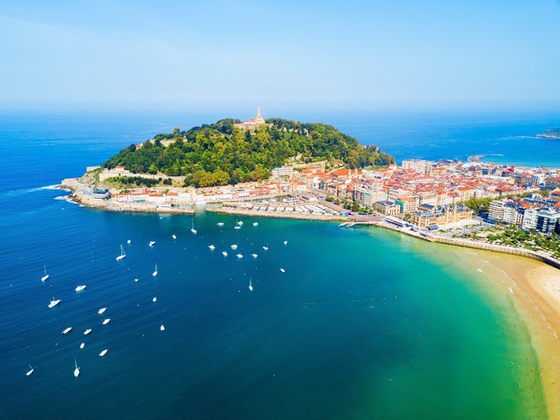
The 355-mile (571 km) trip between Barcelona and San Sebastian is a coast-to-coast journey from the Balearic Sea to the Bay of Biscay. While a flight is the shortest way to get... read more
The distance between Barcelona and Seville is 632 miles (1,017 km). The easiest way to make the trip is by plane, a direct flight that only takes two hours. If you'd like to go... read more
San Sebastián and the port city of Bilbao are two essential stops in Spain's Basque Region. A trip between the two is typically a short, one-hour drive across 62 miles (100 km),... read more
The coastal city of San Sebastian, part of Spain’s Basque country and located on the Bay of Biscay, is approximately 280 miles (452 km) from Spain’s capital city, Madrid. The... read more
The distance from Málaga on the Costa del Sol to the scenic mountainside town of Ronda is about 63 miles (102 km). The most comfortable way to get from Málaga to Ronda is by... read more
The distance between Madrid and Valencia is 222 miles (357 km). The quickest mode of transportation to get from one city to the other is by plane, a quick one-hour flight. You... read more
The coastal city of Valencia is located approximately 305 miles (491 km) from Granada, the capital city of the Granada province, located in Andalusia. The fastest way to get... read more
The distance between the medieval city of Girona and the Costa Brava depends on where you're going in the region. The two most popular hubs tend to be Begur and the towns along... read more
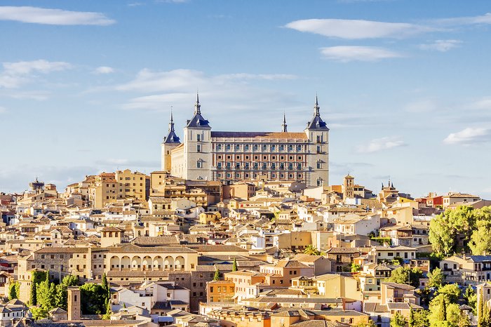
The distance from Madrid to the historic city of Toledo is about 45 miles (72 km). The most comfortable way is to hire a private transfer or self-drive directly to Toledo, a... read more
The distance from Seville (Sevilla) in western Andalusia to the port city of Cádiz is about 75 miles (121 km). The most comfortable way to get from Seville to Cádiz is by hiring... read more
The distance from Madrid to the province of Andalusia is about 280 miles (451 km). The most comfortable way to get from Madrid to Andalusia is via a direct, one-hour flight to... read more
The distance from Seville (Sevilla) in western Andalusia to the port city of Málaga on the Costa del Sol is about 133 miles (214 km). The most comfortable way to get from... read more
Basque Country is one of Northern Spain’s most scenic and popular regions, well-known for its beaches, architecture, and foodie scene. Getting to the region is fairly easy, with... read more
Mallorca, the largest of Spain’s Balearic Islands, is approximately 122 miles (196 km) from the neighboring island of Ibiza. Their proximity makes it relatively easy to travel... read more
The distance from Barcelona to the city of Málaga on the Costa del Sol is about 625 miles (1,006 km). The fastest and most comfortable way to get from Barcelona to Málaga is by... read more
The distance between Granada and Seville is 145 miles (247 km). You can take a train directly from the Granada Railway Station to Seville's Santa Justa Train Station, and the... read more
The most comfortable way to get from Barcelona to Andalusia is via a direct, two-hour flight to Seville or another of the region's major cities. You can also drive (or hire a... read more
The distance from Marbella on the Costa del Sol to the scenic mountainside town of Ronda is about 40 miles (63 km). The most comfortable way to get from Málaga to Ronda is by... read more
The distance between Ronda and Granada in Spain's Andalusia region is 111 miles (179 km). The easiest and fastest way to make the trip is with a rental car or private transfer,... read more
Located on opposite coasts of northern Spain, Barcelona and the Basque Country are 270 miles (435 km) apart. If you want to see both regions during your vacation in Spain, this... read more
The distance from the scenic mountainside town of Ronda to Málaga on the Costa del Sol is about 63 miles (102 km). The most comfortable way to get from Ronda to Málaga is by... read more
The Costa del Sol is a beautiful stretch of coastal towns in Andalusia, with the largest being the city of Málaga. It's over 500 miles (800 km) away from Barcelona. To visit... read more
The distance between the capital of Spain's Catalonia region, Barcelona, and the Andalusian city of Granada, is 424 miles (682 km). The fastest way to make the trip is by direct... read more
Madrid, Spain’s capital city, is located about 200 miles (329 km) from the wine region of La Rioja. Getting from one city to the other is relatively easy, with the combination... read more
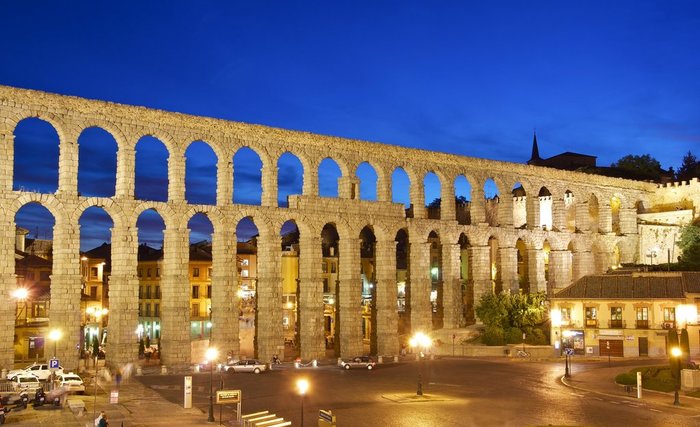
Segovia is just 60 miles (96 km) north of Madrid, making it a great day trip from Spain’s capital city. The fastest and most convenient way to travel between the two is by... read more
The distance from Málaga to Madrid is about 332 miles (535 km). The most comfortable way to get from Málaga to Madrid is by flight, while the cheapest way is by bus. Madrid is a... read more
The distance from the coastal city of Valencia to Seville in the heart of Andalusia is about 413 miles (665 km). The fastest and most comfortable way to get from Valencia to... read more
San Sebastian—Basque Country’s scenic coastal city—is 103 miles (165 km) from La Rioja, one of Northern Spain’s popular wine regions. The fastest and most convenient way to... read more
Madrid and Barcelona are 386 miles (620 km) apart, and the quickest way to make the trip is by plane, which will take just over an hour. There are other options to consider,... read more
Ronda, a city set in the mountainous region of Málaga, is 90 miles (144 km) from Cádiz, the Andalusian hub—and one of the world's oldest cities. The quickest way to make this... read more
Bilbao and Barcelona are 290 miles (470 km) apart, on opposite coasts of northern Spain. To travel between them, you can opt for an hour-long direct flight or a road trip that... read more
La Rioja is one of Spain’s northern provinces, known for its historical and hilly villages, as well as its world-famous wine region. The capital of La Rioja is the city of... read more
The distance from the port city of Cádiz to Seville (Sevilla) in western Andalusia is about 75 miles (121 km). The most comfortable way to get from Cádiz to Seville is by hiring... read more
San Sebastián—Basque Country's scenic coastal city—is just 51 miles (82 km) from Pamplona, one of Northern Spain's most picturesque cities. The fastest and most convenient way... read more
Bilbao—the largest city in Basque Country—is 247 miles (397 km) north of Spain’s capital, Madrid. The two cities are well-connected by bus and train routes, as well as major... read more
Madrid and Granada are separated by 260 miles (418 km), and as these two destinations are fairly close, there are many convenient ways to make the journey, but the best option... read more
The distance from Malaga on the Costa del Sol to the port city of Cádiz is about 145 miles (233 km). The most comfortable way to get between the two cities is by hiring a... read more
The cities of Palma and Ibiza town, located on the Balearic Islands of Mallorca and Ibiza, are about 88 miles (142 km) from each other. Traveling between the two islands is... read more
The distance from Madrid to the Costa del Sol region is about 375 miles (604 km). The easiest way to get from Madrid to the Costa del Sol is with a direct, one-hour flight to... read more
The distance between two major cities in southern Spain’s Andalusian region, Córdoba and Seville, is 75 miles (120 km). The easiest and fastest way to make the trip is by the... read more
Ronda is a beautiful cliff-stop city set in the mountainous region of Málaga. It's just about 90 miles (144 km) from Cádiz, a gorgeous seaside hub and one of Europe's oldest... read more
Santiago de Compostela is 360 miles (580 km) from Bilbao, Basque Country’s largest city. The two are set almost directly across Northern Spain’s coast, crossing some of the... read more
The distance from Bilbao, a major port city in the Basque Country of Spain, and the renowned wine province of La Rioja is 60-70 miles (97-112 km) depending on where you plan to... read more
The Costa del Sol is a popular destination for sun lovers in Spain. Famous for its hot summers and white-sand beaches, this section of Spain’s southernmost coast is undoubtedly... read more
The distance between Spain’s capital, Madrid, and the ancient Andalusian city of Córdoba is 183 miles (295 km), traveling south. The easiest and fastest way to make the trip is... read more
The distance between the capital of Spain's Catalonia region, Barcelona, and Ibiza Town, the capital of Ibiza, one of the Balearic Islands, is 176 miles (283 km). Hands-down the... read more
Basque Country is one of Northern Spain’s most popular regions, well-known for its architecture and foodie scene. Its capital city, Vitoria-Gasteiz, is 221 miles (356 km) north... read more
The distance from Toledo to the Andalusian city of Seville is about 307 miles (494 km). You have the option of going to Madrid by bus, car, or private transfer, and then taking... read more
The distance between two of Spain’s greatest cities—Valencia and Córdoba—is 261 miles (421 km), traveling from Mediterranean coast of the country to the heart of Andalusia. The... read more
The distance from the city of Jerez de la Frontera to the scenic mountainside town of Ronda is about 72 miles (116 km). The most comfortable way to get between the two is by... read more
Toledo is an ancient city, set just southwest of Madrid and near one of the country’s largest wine regions—La Mancha. Getting to the city is fairly easy. It’s well-connected... read more
The city of Palma, located on the Balearic island of Mallorca, is about 340 miles (548 km) from Madrid. The easiest and fastest way to get between the two cities is by plane,... read more
Pamplona is just 96 miles (155 km) from Bilbao, making it a great day or overnight trip from Basque Country. The fastest and most convenient way to travel between the two is by... read more
Costa de la Luz is Spain’s scenic southwestern coastline on the Atlantic Ocean, known for some of the country’s longest and sandiest beaches. The biggest city on the coast is... read more
The distance between two of Spain’s greatest cities—Barcelona and Córdoba—is 441 miles (710 km), traveling from the northeast corner of the country to the heart of Andalusia.... read more
The distance from the scenic mountainside town of Ronda to the city of Jerez de la Frontera is about 72 miles (116 km). The most comfortable way to get from Ronda to Jerez is by... read more
The distance from the historic city of Córdoba to Malaga on the Costa del Sol is about 107 miles (172 km). The most comfortable way to get from Córdoba to Malaga is hiring a... read more
The distance from the La Rioja wine region to Bilbao, a major port city in the Basque Country of Spain, is about 60 to 70 miles (97 to 112 km), depending on your starting point.... read more
Madrid and Seville are 334 miles (537 km) apart, and the best way to make the trip is by a direct flight, which will take just about one hour. If you don't mind an extra hour... read more
The distance from Conil de la Frontera to Cádiz, a picturesque stretch along the Costa de la Luz, is about 30 miles (47 km). The most comfortable way to get between the two is... read more
If you're in Pamplona, it's likely you'll want to explore a bit of the La Rioja wine region, with the city of Logroño making an excellent hub. If your destination is Logroño or... read more
The distance from the scenic mountainside town of Ronda to the beachfront Conil de la Frontera is about 108 miles (175 km). The most comfortable way to get from Ronda to Conil... read more
Spain’s northern cities of Vigo and Redondela, both part of the province of Galicia, are approximately 8 miles (14 km) apart. Vigo is located on the northwest coast, next to the... read more
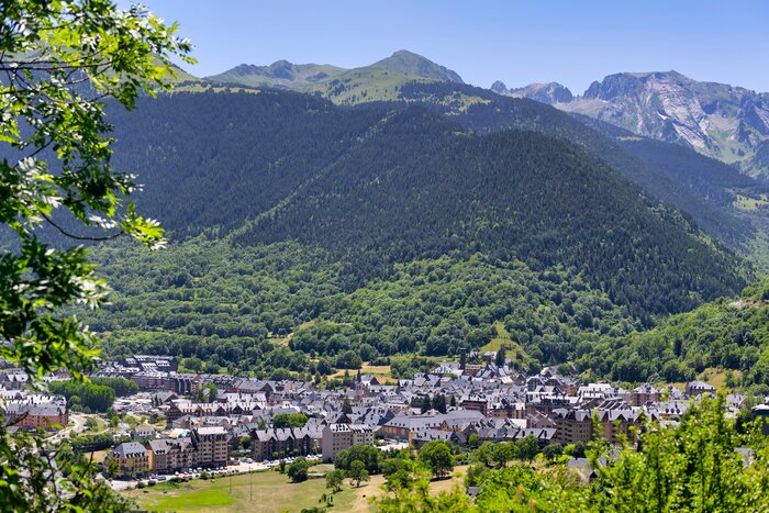
From the scenic mountains of Val d'Aran to Catalonia's bustling capital city Barcelona is quite the journey. Driving or a private transfer is your best option, as Val d'Aran is... read more
From the beautiful beaches and medieval villages of Costa Brava to the scenic mountains of Val d'Aran is quite the journey through the Catalonia region of Spain. Driving or a... read more

